Q-GIS for Environmental Conservation 1
2022-07-24 00:00:00
By: Information Technology Center
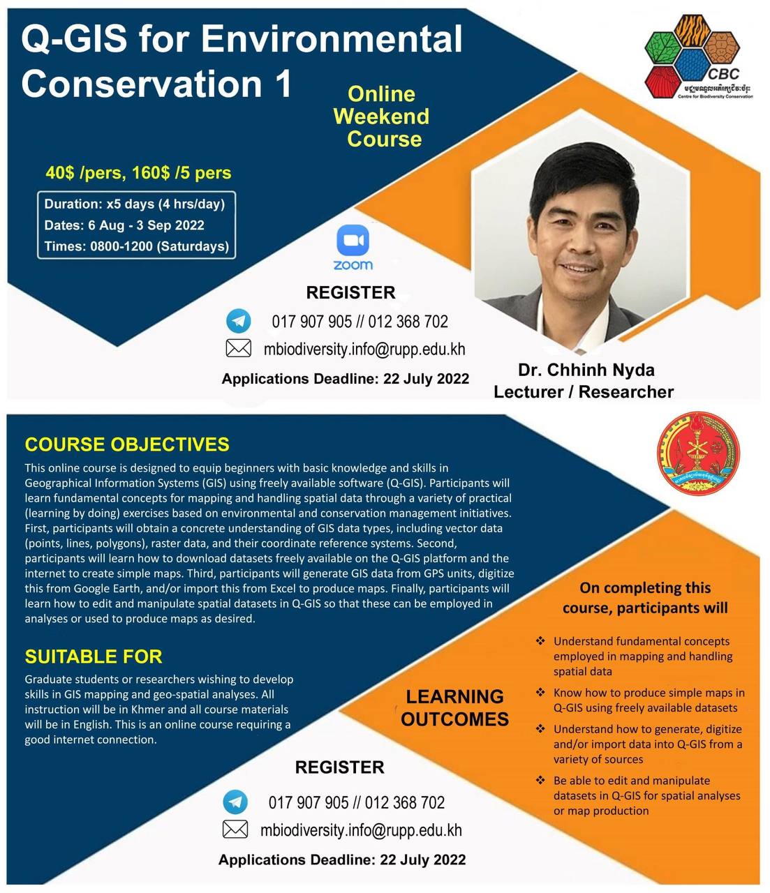
Q-GIS for Environmental Conservation 1:
This online course is designed to equip beginners with basic knowledge and skills in Geographical Information System (GIS) using freely available software (Q-GIS). Participants will learn fundamentatl concepts for mapping and handling spatial data through a variety of practical (learn by doing) exercises based on enviromental and conservation management initiatives. First, participants will obtain a concrete understanding of GIS data types, including vector data (points, lines, polygons), raster data, and their coordinate reference systems. Second, participant will learn how to download datasets freely available on the Q-GIS platform and the internet to create simple maps. Third, participant will generate GIS data from GPS units, digitize this from Google Earth, and/or import this from Excel to produce maps. Finally, particpants will learn how to edit and manipulate spatial datasets in Q-GIS so that these can be employed in analyses or used to produce maps as desired.
Register at: Telegram phone: 017907905 , 012368702
Email: mbidiversity.info@rupp.edu.kh
download